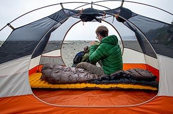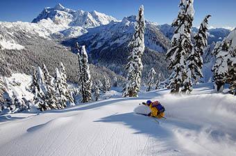
Photo Credit
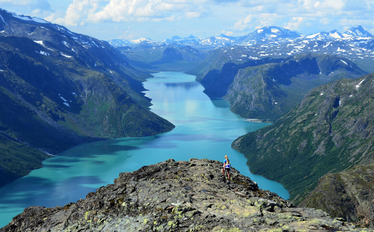
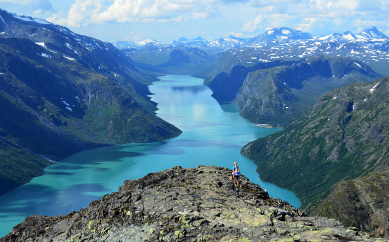
The Jotunheimen Mountains are a place of superlatives. Translating to the “home of the giants,” they are the highest mountains in Norway and Northern Europe, Jotunheimen National Park is the country's most visited, and the Besseggen Ridge is the country's most popular day hike. All together, the Jotunheimen is an imposing concentration of mountains, glaciers, and alpine lakes encompassing roughly 3,500 km². In addition to Norway’s highest mountain Galdhøpiggen (2,469 meters), there are more than 200 summits over 2,000 meters and a well-developed system of DNT trails and huts. The elevations may not compete with taller European ranges like the Alps, but the Jotunheimen is impressive and a great source of national pride.
Norway’s neighboring mountain regions present an interesting dichotomy; the Hardangervidda is not as vertical or condensed as the Jotunheimen but three times as large and gets less traffic. If you ask a Norwegian for their favorite, the Jotunheimen seems to get the nod slightly more often. It depends on what you are looking for—or better yet, see them both and decide for yourself.
Starting point: Gjendesheim (see map)
Duration: 6-8 hours
Difficulty: Challenging
Norway’s most popular day hike traverses the thin spine between two large alpine lakes, Gjende and Bessvatnet, with impressive views of the surrounding terrain. Interestingly, the lakes contrast sharply in color: Gjende is glacial fed and emerald green while Bessvatnet is rain fed and deep blue.
Most hikers take the morning boat from Gjendesheim to Memurubu, and then walk over the Besseggen ridge back to Gjendesheim. 30,000 people complete the hike annually so you won’t have the luxury of solitude, but it is spectacular nonetheless. Some choose to go against the grain from Gjendesheim to Memurubu and then return by boat. The boats don’t run in the offseason but the trip can be completed by walking in both directions (and staying at the hut). Further information can be found on Besseggen Tourism.
Starting point: Vargebakken (see map)
Duration: 3–4 hours round trip, 5–6 hours for the loop
Difficulty: Moderate
A less traveled alternative to Besseggen Ridge is just down the road at Vargebakken with a hike to the summit of Knutshø. The hike first descends to the Varga River before turning upward along the ridge to the summit. The mountain views are excellent including the masses of people scrambling across the Besseggen ridge. You can turn around at the top, continue down toward the lake, or take alternative routes to Øvre Leirungen or Gjendeosen (these trails, however, are less worn).
Starting points: Skogadalsbøen, Sognefjellhytta, Krossbu, or Turtagrø (see map)
Duration: 2 days, 1 night
Difficulty: Moderate
Fanaråkhytta is the highest mountain hut in Norway at 2,068 meters, with superb views of the Jotunheimen including the Hurrungane Range and the Smørstab and Jostedalbreen Glaciers. Sunset and sunrise from Fanaråkhytta are legendary. You can hike to the hut from Skogadalsbøen (5 hours), Sognefjellhytta, Krossbu, or Turtagrø (6 hours), with the latter requiring a walk over the glacier (a guided roped party leaves the edge of the glacier at 13:00 every day and goes up to the lodge). Call ahead for details (+47 48 15 22 44).
Starting points: Spiterstulen or Juvashytta (see map)
Duration: 5–7 hours round trip
Difficulty: Challenging
Galdhøpiggen, the highest peak in Norway (2469 m), is reachable by day hike from two huts: Spiterstulen and Juvashytta (both are staffed private huts accessible by road). Juvashytta is a shorter hike to the summit of Galdhøpiggen but requires walking over the Styggebreen Glacier; guided group trips are available or those with experience and equipment can do it on their own (5 hours round trip). The trip from Spiterstulen hut is steadily uphill and there may be snow at the top, but hiking boots should be sufficient in the summer (6–7 hours round trip). Whichever way you get there, the summit of Galdhøpiggen has a very nice warming hut with excellent views in clear weather.
Starting points: Spiterstulen or Glitterheim (see map)
Duration: 7 hours
Difficulty: Challenging
But for small variations in the height of its glacier, Glittertind would be the highest mountain in Norway. Listed at 2,465 meters, four meters shy of neighboring Galdhøpiggen, the hike to the summit is terrific. Glittertind can be reached from either Spiterstulen or Glitterheim (a staffed DNT lodge), and most people hike from one hut to the other. There will be snow at the top but technical equipment is not required.
By Car: Jotunheimen National Park is 255 kilometers northwest of Oslo and the trip takes approximately 5 hours (or more depending on the conditions). The 108 km stretch of Road 55 from Gaupne to Lom is the Sognefjellet National Tourist Route and the highest mountain pass in Northern Europe, reaching an altitude of 1,434 meters above sea level. In 2007, the British newspaper The Guardian named this route one of the top 10 bike rides in the world.
By Bus: There are a number of busses from Olso to the Jotunheimen, including daily bus service from Oslo to Lom (routes 147 and 148; 6 1/2 hours).
By Train: The nearest train stop to Jotuneheimen National Park is at Otta, where local buses connect to locations throughout the area.