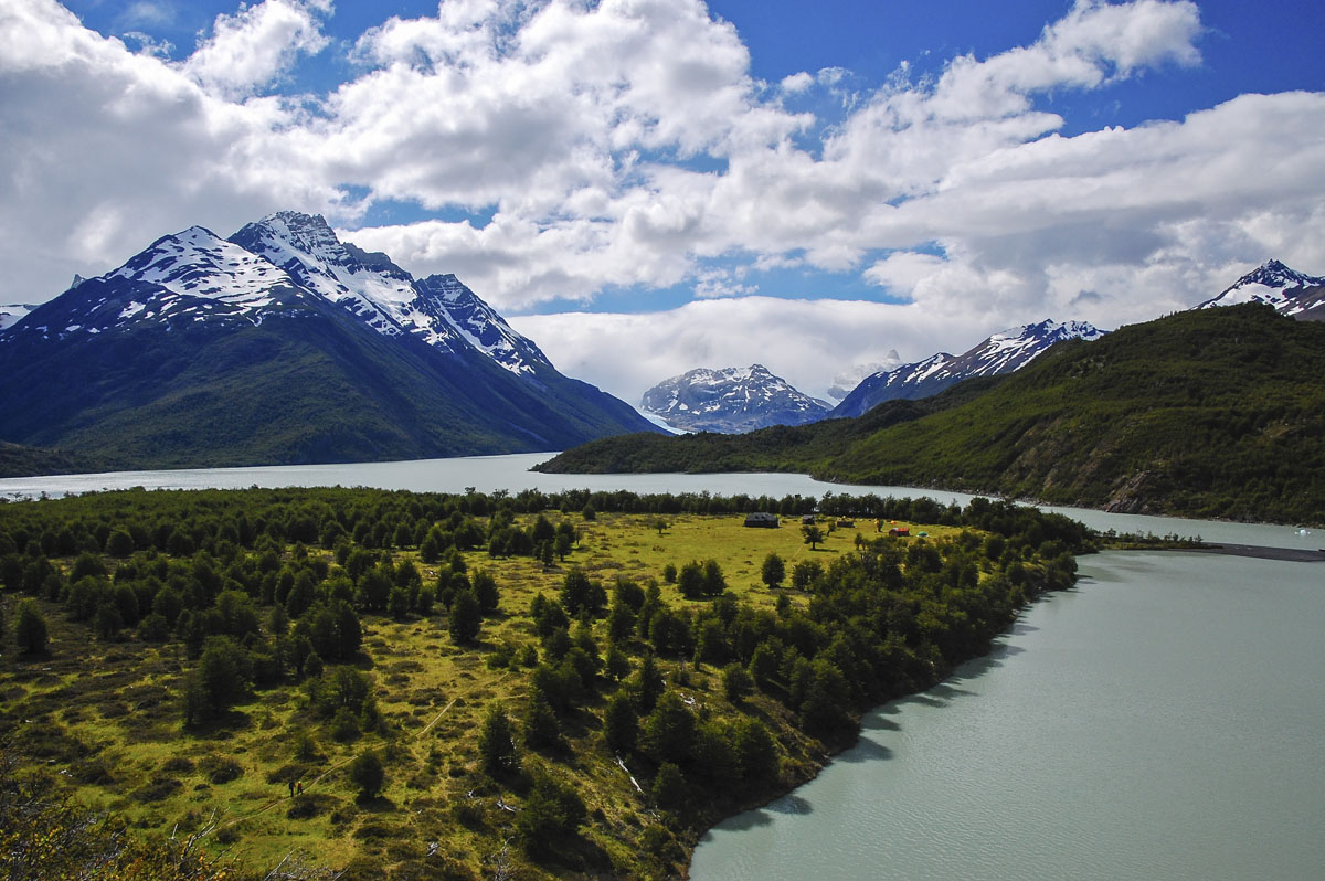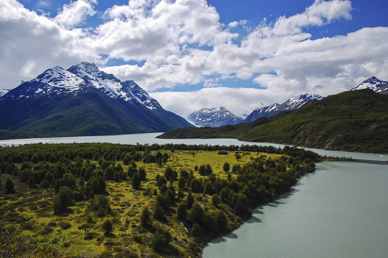

The Torres del Paine "O" Circuit (6–10 days) is the full loop around the Cordillera del Paine—the "W" plus the more remote backside that gets fewer trekkers. All told, the total distance of the "O" is approximately 110 kilometers depending on side hikes. The route can be walked in either direction but the majority of trekkers go counterclockwise and finish at the Laguna Amarga ranger station or Refugio Lago Pehoe. If you have the time and motivation, this is one of the premier hikes in Patagonia and will help you beat the Torres del Paine crowds.
Distance: 110 km
Time: 6-10 days
Difficulty: Challenging
Start/end: Most people start and finish at the Laguna Amarga ranger station or Refugio Lago Pehoe
Transportation: How to Get to Torres del Paine
Shorter option: W Circuit
The route is long and challenging but there is a solid infrastructure of refugios along the way. Camping is required on the backside of the "O"; on the rest of the circuit trekkers have the option of camping or staying at refugios. Unlike true wilderness treks, you will be able to stock up on supplies and are never too far from other people.
What are the differences between the "W" and "O" Circuits? The "W" (4–6 days) is an abbreviated version of the "O" that passes through the heart of the Cordillera del Paine. The backside of the "O" doesn’t pass as close to the big rock formations but is beautiful Patagonia terrain nonetheless. Also, there are fewer people on the backside—on our trek during peak season there were approximately 60 tents per camping area on the "W" sections and 20 tents per camping area on the "O" (about one-third of the people).
Choosing between the two circuits often comes down to time: if you only have two weeks in Patagonia spending 8 or 10 days on the "O" may be too big of a commitment (although you could argue that it isn’t). Many trekkers on the "O" are part of grand tours of Patagonia and South America; many on the “W” are working with less time.
You see a helpful trekking map of Torres del Paine here. The "O" Circuit can be walked in either direction. Most people start and finish at the Laguna Amarga ranger station or Refugio Lago Pehoe, the drop-off point for the catamaran. The walking times on the CONAF map are reasonably accurate but good hikers will hike slightly faster.