
Maureen


Maureen
Alaska’s vastness can be intimidating, but the Kenai offers some of the best access to the outdoors in the state. Below are some of the top hiking trails on the Kenai Peninsula, from Hope and the Portage Valley in the north down to Seward and Homer in the south. In terms of difficulty, this list has a range options from relatively short an walks near town to challenging treks that can take a full day or more. As always, make sure to have proper maps and/or GPS and prepare for tough conditions no matter the season. When the weather breaks, hiking on the Kenai is as scenic as anywhere.
Distance: 5 miles one way
Difficulty: Easy
The Trail of Blue Ice makes it way along the Portage River on the floor of the scenic Portage Valley. It’s a flat, family-friendly stroll on a well-maintained trail with stunning views of Byron Glacier and surrounding mountains. The Trail of Blue Ice begins at the Moose Flats Day Use Area near the Seward Highway and can be hiked year-round and biked in summer.
Distance: 23 miles one way
Difficulty: Moderate
Johnson Pass is a 2-4 day trip on the eastern Kenai Peninsula known as one the easier backpacking options in the region. Nearly the entire trail is below tree line with only moderate gains in elevation (Johnson Pass is at 1,450 feet). There are two campsites near Bench Lake and Johnson Lake. Most people who hike the full distance arrange to have a car waiting at the other end. Johnson Pass also is a popular mountain biking trail. The north trailhead is at mile 32.5 on the Seward Highway; the south trailhead is at mile 64.
Distance: 38 miles one way
Difficulty: Challenging
Resurrection Pass is one of the most popular hikes on the Kenai, traversing the rolling hills of the northern interior and ending at the coastal town of Hope. Eight public cabins dot the route and can be reserved ahead (the cabins are basic, with sleeping platforms, a stove, and dishes). Most people hike from north to south. The best months are June before the foliage is out and September for fall colors. Resurrection Pass is open for mountain biking in the summer and cross-country skiing in the winter. The trail begins at mile 50 on the Seward Highway.
Distance: 7 miles one way
Difficulty: Moderate
The Lost Lake trail starts at mile 5 on the Seward Highway, climbing gradually from spruce forests to alpine meadows and spectacular views of the Kenai Mountains. It’s 7.3 miles to Lost Lake with endless places to camp and explore. The best time to hike to Lost Lake is mid to late summer as snow in the area can linger until July.
Distance: 8 miles round trip
Difficulty: Challenging
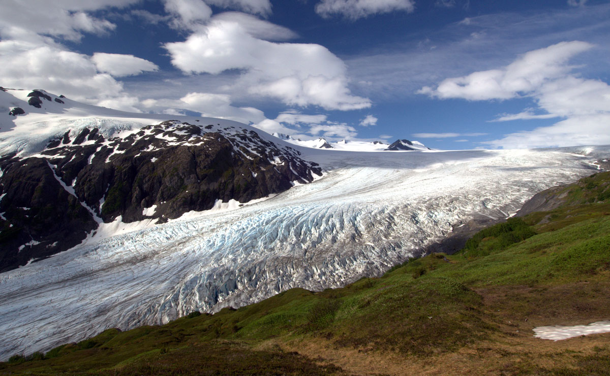
The Harding Icefield Trail near Seward is one of Alaska’s most memorable hikes. Starting at milepost 3 on the Seward Highway, the steep trail makes it way above tree line for dramatic views of Exit Glacier and the vast Harding Icefield. This is the only hiking area accessible by road in Kenai Fjords National Park. For shorter strolls, a network of hikes departs from the Exit Glacier Nature Center.
Distance: Variable
Difficulty: Challenging
A highlight of visiting Homer is Kachemak Bay State Park, across the bay and only accessible by boat. Kachemak was Alaska's first state park and encompasses nearly 400,000 acres of mountains, glaciers, forest, and coastline. The park has an excellent network of hiking trails; two of the most popular are Poot Peak (4.3 miles one way; difficult) and China Poot Lake (2.8 miles one way; moderate). The Center for Alaskan Coastal Studies runs daily hiking tours in the summer including boat transportation from Homer. For those interested in staying overnight, a handful of rustic public cabins are available at Halibut Cove Lagoon, Leisure Lake, Moose Valley, and Tutka Bay.
Distance: 5 miles return
Difficulty: Easy
On the northern Kenai Peninsula, the Winner Creek Trail (the turnoff to Girdwood is at milepost 90 on the Seward Highway) passes through lush Alaska rainforest to the hand tram over Winner Creek. This well-maintained route starts near the Alyeska Resort; after 2.5 miles the trail hits the hand tram across the steep Winner Creek Gorge. The tram is an ideal place to turn around (crossing is up to you!). For a rough map of the area, see the Girdwood summer trail map.
Distance: 21 miles one way
Difficulty: Moderate to challenging
Crow Pass, part of the historic Iditarod Trail, is one of the most popular backpacking trips in Chugach State Park. This trail was used by miners in the late 1800’s and now is a mainstay with local hikers for the terrific mountain views. The hike starts at the end of Crow Pass Road near Girdwood (the turnoff is at milepost 90 on the Seward Highway). Much of the elevation is gained during the first four miles, which are very steep. Along the way look for Dall sheep, brown and black bears, glaciers, and alpine lakes. Shorter trips are possible from either trailhead.