Credit: Søren Birkemeyer


Credit: Søren Birkemeyer
From the famous fjords to the far reaches of Northern Norway, the following list represents 10 of the country’s premier hiking trails. Many other hikes are worthy of consideration, but these in particular embody Norway’s most iconic and awe-inspiring landscapes. The length and difficulty of the hikes vary and some venture well off the beaten path. And although the hikes are ranked, all are worthy of serious consideration depending on what part of Norway you are visiting.
Location: Lofoten Islands (map)
Time: 2-3 hours return
Access: From just outside the village of Reine
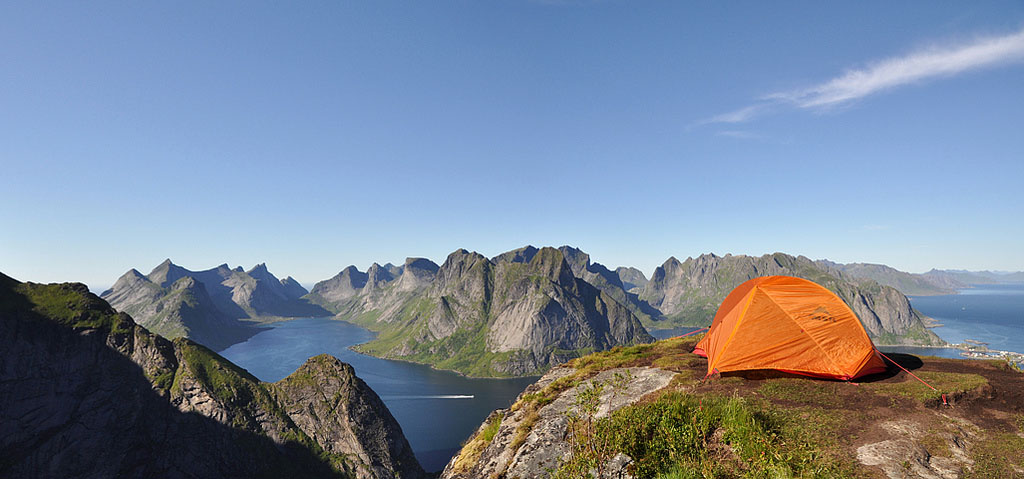
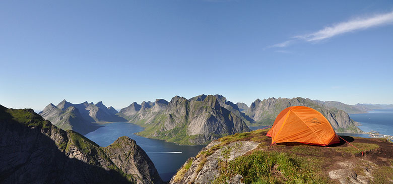
Outside the fishing village of Reine on the island of Moskenes, the vista from the steep scramble up Reinebringen is simply as good at is gets. Below are the Reinefjorden, Kjerkfjorden, and the unthinkable Lofoten Wall—sheer spires of granite shooting out of the Arctic Sea. The hike is 2–3 hours return, but make sure to leave ample time at the top. For those seeking a higher and more challenging Lofoten summit, the trek up Hermannsdalstinden starts just down the road at Sørvågen (1–2 days with an optional night at Munkebu hut).
Location: Jotunheimen National Park (map)
Time: 5-7 hours one way
Access: Gjendesheim Hut
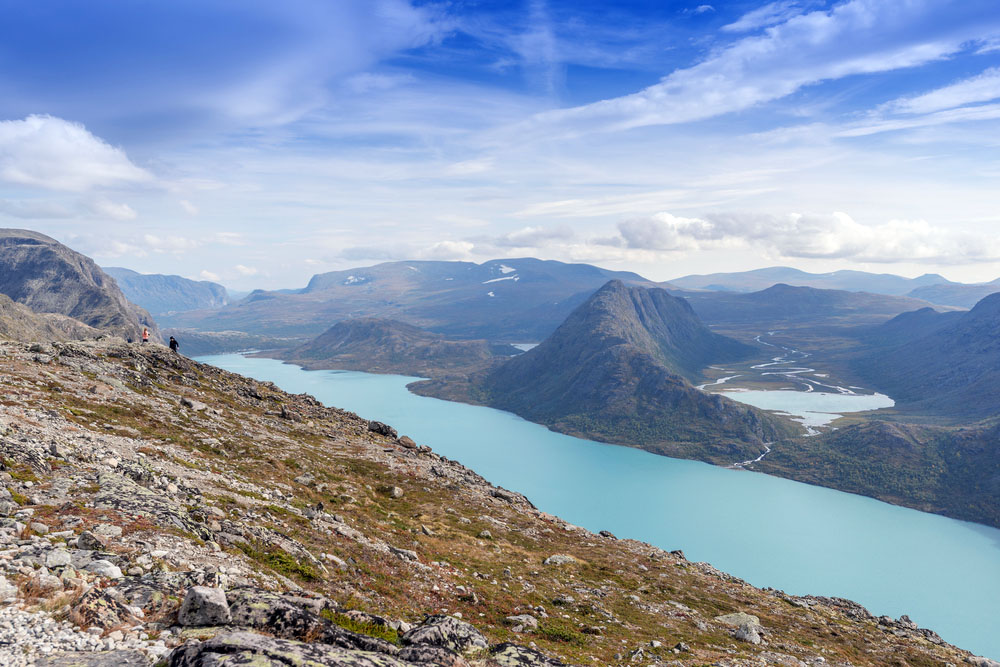
Located in Jotunheimen National Park, home to the Northern Europe's highest peaks, Besseggen Ridge is one the most popular day hikes in Norway. The trail traverses a thin ridge between two contrasting alpine lakes, Gjende and Bessvatnet, all while surrounded by Norway’s highest mountains. Most hikers complete the journey by taking the morning boat to Memurubu and walking back over the Besseggen ridge to Gjendesheim. The hike takes approximately 5–7 hours with steep sections near the beginning.
Location: Central Norway (map)
Distance: Variable (2 hours to multiple days)
Access: Just south of Kongsvold Fjeldstue
There are only a handful of places in the world where you can see musk oxen in the wild—Alaska, Canada, Greenland, and Siberia—but none are as accessible as Dovrefjell National Park in Norway. Your best shot is to walk the main trail starting just south of Kongsvold Fjeldstue. Spend a few hours searching the interior valleys for herds, particularly near sources of water. With a half-day your chances of success are good, and if all else fails look for interested groups of humans (they may have beat you to the punch). Remember to give the musk oxen a safe distance—these large beasts are irritable and surprisingly fast.
Location: (Sunnmøre Alps; map)
Time: 1 day or more (you can overnight at Patchellhytta)
Access: Village of Hjørundfjord (near the Hotel Union Øye)
The Norangsdal Valley is often called the wildest place in Norway. For centuries, the only way in was on horseback or foot; now a small road winds through the impossibly steep gorge that measures only 200 meters across. Driving the road itself is a treat, but the valley is best seen from high above via the steep trail to the Patchellhytta Hut. Hikers also use the hut as a base for tackling nearby peaks in the Sunnmøre Alps, most notably Slogen. The Norangsdal Valley is steep and challenging and recommended for experienced hikers.
Location: (Lysefjord; map)
Time: 2-4 hours return
Access: Preikestolhytta
Dangling 600 meters over the waters of the Lysefjord, vertigo-inducing Pulpit Rock is one of Norway’s premier viewpoints. When the weather is good you certainly won’t have the 25 by 25 meter rock to yourself—it's one of the most visited natural attractions in the country—but sharing it with others doesn’t detract from this quintessential Norway experience. Pulpit Rock is approximately 4 kilometers and 1–2 hours each way from the car park at Preikestolhytta.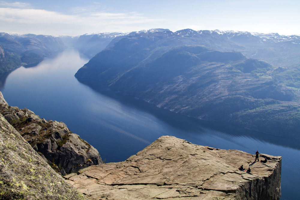
Location: Lofoten Islands (map)
Distance: 4-6 hours
Access: Ferry from Reine
Located on the Lofoten Islands on the northern coast of Moskenesøya (reachable by a day trip from Reine), these neighboring beaches are two of the world’s most unique. Firtst, the white sand and azure waters are over 100 kilometers north of the Article Circle. On a sunny summer day one could be fooled into believing they were far closer to the equator (even the world’s northernmost surfing school is nearby). Second, the surrounding geography is astounding: granite peaks of this nature are extremely rare, let alone near the beach. Finally, the northern coast of the Lofoten Islands is prime for the midnight sun (from May 28 – July 14). Those who camp on Horseid or Bunes Beach (you have to carry in all supplies) can witness one of the world’s great natural phenomena in unbeatable surroundings.
Location: Southern Norway (map)
Time: Variable (7-12 days depending on route and speed)
Access: Mutiple locations
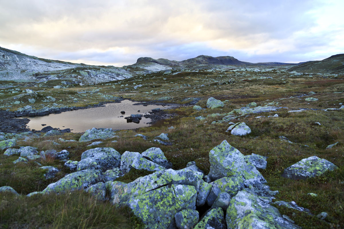
Jotunheimen National Park may have the highest mountains in Norway, but the Hardangervidda feels the most Norwegian. With nearly 30 public huts and seemingly endless trails to hike, it’s easy to customize a Hardangervidda itinerary to fit your needs. For those shorter on time, the Oslo-Bergen Railway stops in Finse—where George Lucas shot the ice planet Hoth in Star Wars: The Empire Strikes Back—and a range of hikes depart from there. Those interested in a longer trek should consider the epic journey across the entirety of the Plateau (7–12 days depending on the route).
Location: Jotunheimen National Park (map)
Time: Day hike
Access: Spiterstulen and Juvashytta huts
Galdhøpiggen (2,469 meters) is the highest mountain in Northern Europe. The summit is reachable by day hiking from two staffed private huts, Spiterstulen and Juvashytta, both of which are accessible by road. Juvashytta is a shorter hike to the summit of Galdhøpiggen but requires walking over the Styggebreen Glacier. Whichever way you decide get there, the summit of Galdhøpiggen is adorned with a nice warming hut that has excellent vistas over the mountains of the Jotunheimen.
Location: Geirangerfjord (map)
Time: 8-10 hours return
Access: Town of Geiranger
In many ways, the “S” shape, waterfalls, and towering mountains of the Geirangerfjord make it Norway’s most idyllic fjord. There are other nice viewpoints of the Geirangerfjord that require less of a commitment, including short walks to Løsta and Vesteråsfjellet, but none can match the steep and towering summit of Keipen (8–10 hours round trip). On this hike you will escape the crowds for an incredible panorama over this UNESCO World Heritage fjord and the surrounding area.
Location: (Northern Norway (map)
Time: Full day or overnight
Access: Parking lot on E69
Without detracting from the North Cape (Nordkapp), it’s not actually the northernmost point of mainland Europe. Unbeknownst to all but a few savvy travelers, nearby Knivskjellodden is actually 1,457 meters farther north. In what may be the most adventurous hike on this list, take the secluded and rocky trail out to the tip of Knivskjellodden (18 km return). Camping near the point is recommended both to break up the hike and to soak up the true northernmost point of mainland Europe. For comparison, approximately 300,000 tourists visit the North Cape annually but less than 1,500 make it to Knivskjellodden.