
David Wilkinson


David Wilkinson
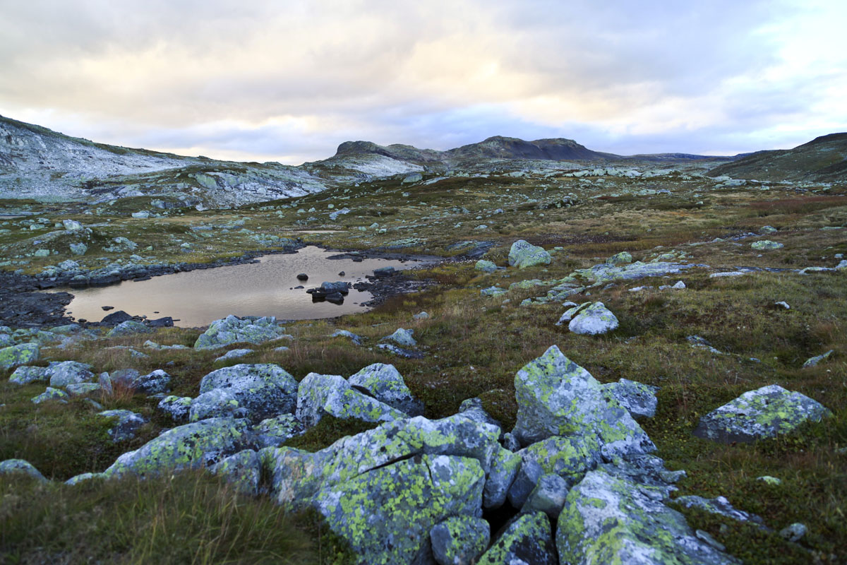
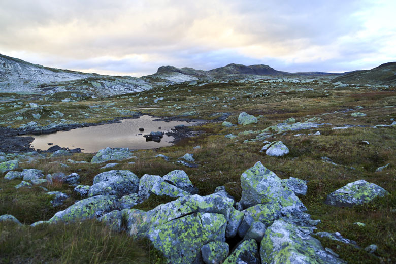
The Hardangervidda Plateau is one of Norway’s and Europe’s most wondrous open spaces, encompassing nearly 10,000 square kilometers of varied Arctic wilderness—bigger than Yellowstone National Park in the United States. Because of Norway’s exquisite system of trails and public huts, few, if any, such wide-open expanses anywhere in the world are as readily accessible. If you’re lucky, you may see one of the large herds of wild reindeer stealthily migrating through the area in search of lichen and other nutrients.
The Plateau is immense. It sits entirely above tree line and has the southernmost Arctic flora and fauna in Norway: a rugged composition of rolling mountains, glaciers, boulders, lakes, rivers, and bogs. The western portion is more mountainous and lush, and the eastern portion is flatter with colder, continental conditions. Only one-third of the total area is within Hardangervidda National Park (Norway’s largest), but most of the surrounding land is public or protected with few discernable differences compared with the park. The hiking isn’t easy, but once on the Plateau the terrain is moderate, meaning that it isn’t overly difficult either. On the whole, the Hardangervidda is home to some of the finest hut-to-hut trips in Norway, both for hiking in the summer and cross-country skiing in the winter.
The easiest road access to the Plateau is from the north and west via Highway 7. Another option is the Oslo-Bergen Railway, which stops in Finse, a sublime base for further exploration (see below). The bulk of the staffed DNT lodges are in the north; the terrain gets more barren and the huts and trails thin out further south. Those who desire a longer trip can venture further into the backcountry to stay in a self-service hut or camp. The journey across the entirety of the plateau is legendary, especially among the few who have done it, taking approximately 7–12 days.
The Hardangervidda Plateau is situated between Oslo and Bergen (200 km west of Oslo and 175 km east of Bergen) and easily reached by car or train. Highway 7 runs across the north of the Plateau and Highway 13 splits off down its western edge. The Oslo-Bergen railway is popular with the outdoor crowd with a stop in Finse (4 1/2 hours from Oslo to Finse). Depending on the hike you may need to loop back to your car or have another method of transportation. Many of the staffed huts are near roads or towns making them logical ending points.
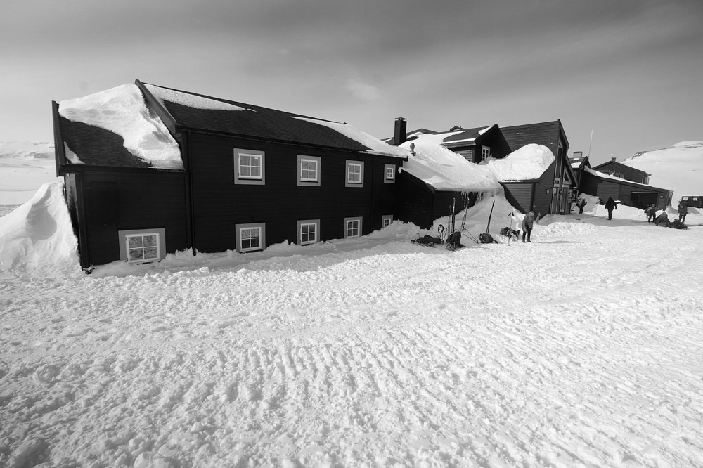
The Oslo–Bergen Railway crosses the Hardangervidda Plateau with an epic stop: Finse. This is the highest station in Norway at 1,222 meters and there is no road access. Surrounded almost exclusively by rock and ice, and with a population of roughly 35 inhabitants during the summer high season, Finse makes the short list of the world’s most interesting mountain towns. Outdoor enthusiasts pile off the train in droves with mountain bikes or skis in tow (there is a cycle train in the summer that allows bikes on board), and head off in every direction to explore all that the vast Hardangervidda has to offer.
In classic Norwegian fashion, Finse efficiently offers all the necessities but little more. The one hotel in town, Finse1222, is likeable, basic, and provides comfortable access to the area’s natural wonders. The mountain biking is some of the best in Scandinavia: the Rallarvegen, or Old Navvy Road, was used for the construction of the railway in the early 19th century and is now legendary among cycling enthusiasts (82km of road). The massive Hardangerjøkulen glacier is a short walk from Finse, offering magnificent views and a number of ice-related activities. Finse is also an axis of DNT huts galore, from which the town makes a perfect jumping off point.

Based on numbers, July through October is the peak season in Finse, but those who know it best probably envisage its’ righteous state as snow-clad. The cross-country skiing is world class and the area has long served as the training grounds for polar expeditions. Finse was even chosen by George Lucas in 1979 to shoot the ice planet Hoth in Star Wars: The Empire Strikes Back. The village is now home to the Alpine Research Center, jointly operated by the Universities of Oslo and Bergen. To be sure, Finse is alive in the winter as well.
Kinsarvik–Stavali (2 days; see map)
This steep hike up from the Sorfjord is a magnificent introduction to the plateau and has easy access from Highway 13. Also, there is an alternate route back to Lofthus, an idyllic town 11km south of Kinsarvik on the main road. Those with more time can continue on the plateau east from Stavali to Toreytten or Vivelid.
Finse–Rembesdalseter–Kjeldebu–Finse (3 days; see map)
This challenging loop from Finse circles the entirety of the dramatic Hardangerjøkulen glacier. The trail is steep and exposed in sections but offers powerful views of the glacier and the ruggedness of the Hardangervidda.
Hellevasbu–Litlos–Middalsbu (3 days; see map)
The hike through the scenic and less-visited southwest section of Hardangervidda National Park allows for three days of trekking without doubling back. The self-service Hellevasbu cabin has one of the most picturesque settings on the Plateau.
Trondsbu to Sandhaug (2 days or more; see map)
Sandhaug is a staffed lodge close the geographic center of the plateau and makes a great home base. Nearby trout fishing is excellent and there are ample opportunities for hiking in the area. From Highway 7 just east of Dyranut, drive 10 km south to the carpark at at Tinnhølen. From the carpark it is three hours walking to Sandhaug.
Across the Plateau (7 days or more; see map)
The world is your oyster in planning the Across the Plateau trek, so grab a DNT map of the Hardangervidda and create your route. You will see other hikers near the larger huts but will also have opportunities to experience the remote and untouched corners of the Plateau. Allow at least one week for this trip and likely a few days more based on your route and hiking speed