Editor's note: In the fall of 2021, our good friends and gear testers Brian and Sasha embarked on a one-year sabbatical from their careers and hit the road in their van named Rhino (with their dog named Otis). The goal: to go wherever the wind blows, with their bikes, skis, climbing gear, and running shoes in tow. The following is the fourth entry in a multi-part series titled "A Year on the Road."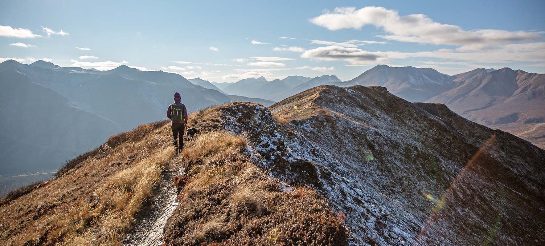
“Oh what a life! We cannot wait. To be in that arctic land, where we'll be the masters of our fate, and lead a life that's grand!... – Bill Waterson (Calvin & Hobbes)
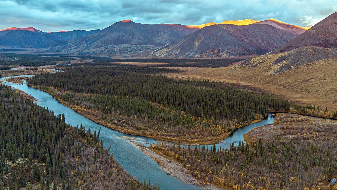
The arctic landscape has an allure that is difficult to describe. Not only is it reminiscent of being in the alpine—stunted trees, big skies, and unimpeded vistas—but the utter remoteness and rawness is palpable. Over the years, we have been continually drawn to the north, and driving the Dempster Highway into the Arctic Circle has long been a dream. A 740-kilometer (458-mile) road from Dawson City to the Arctic Ocean (ending in the small oceanside community of Tuktoyaktuk), the unpaved Dempster Highway travels through the northern reaches of the Yukon into Northwest Territory, through the the varied landscapes that play home to the Hän, Gwich’n and Inuvialiut people.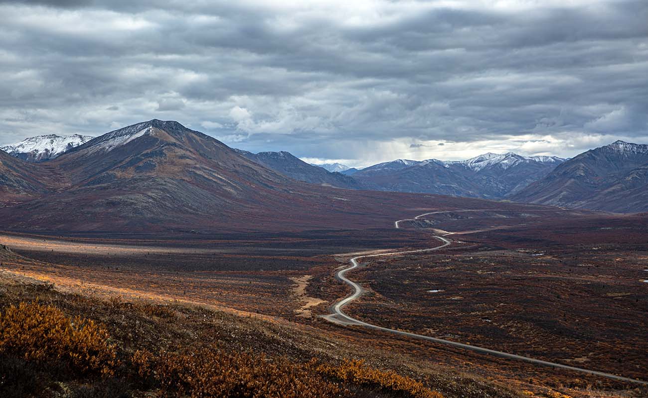
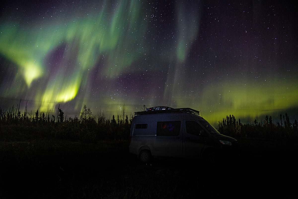
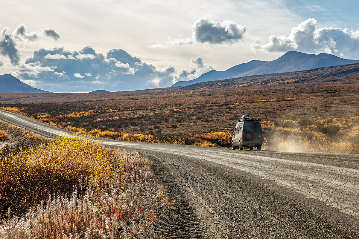
In retrospect, this portion of our journey exceeded our already-high expectations, and I find it almost impossible to describe the Dempster Highway. It is all so vast, beautiful, and incredibly humbling. And because it was late September, the brilliantly golden aspen and balsam poplars and crimson alpine brushes created a kaleidoscope of color unlike any we’ve experienced before. We often pinched ourselves, delighting in the fact that, after so many years of talking about it, we were actually driving the Dempster! In the autumn! In our beloved 4x4 Sprinter van! Life felt wide-open and spacious.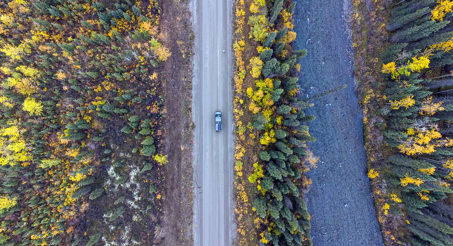
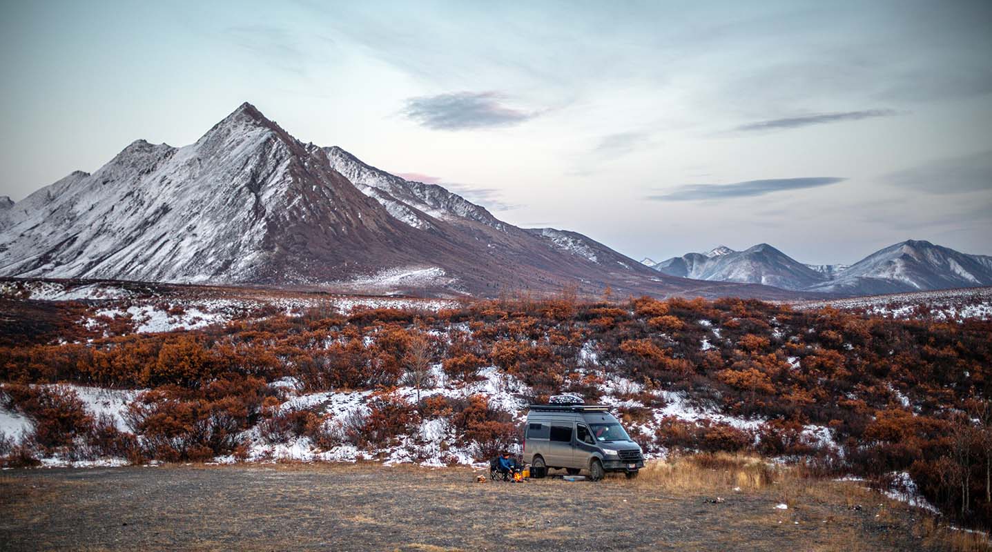
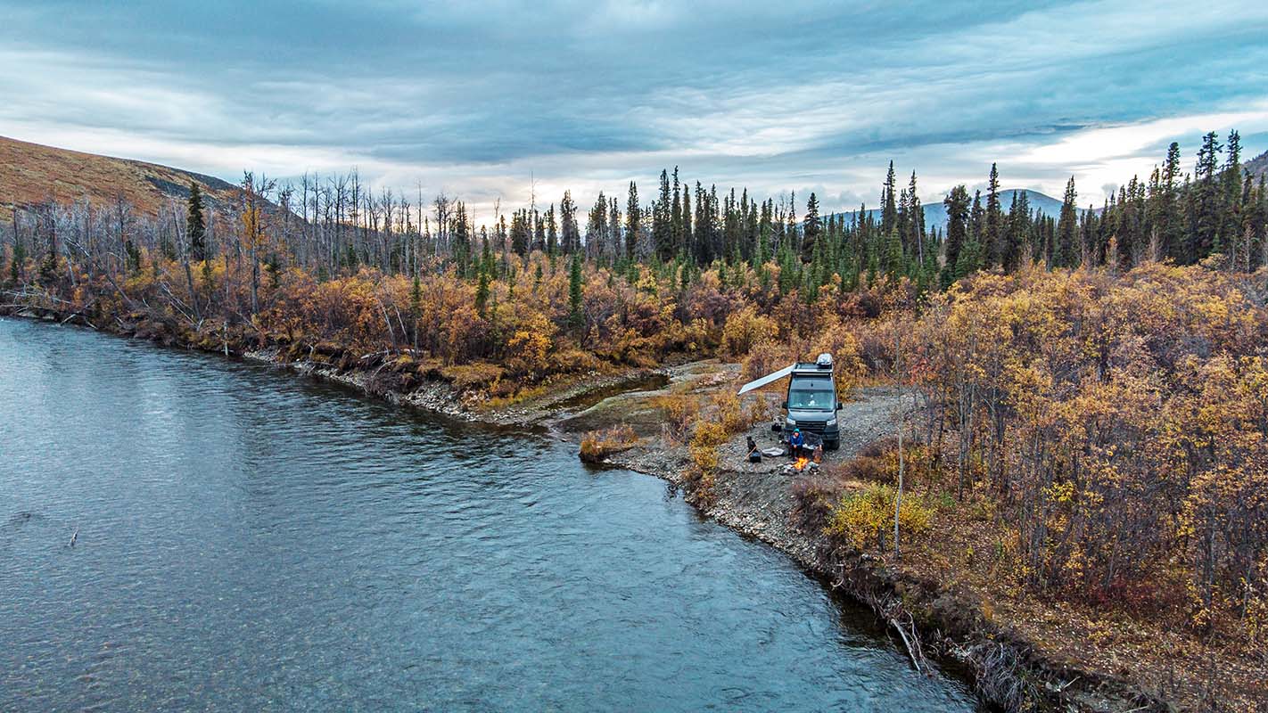
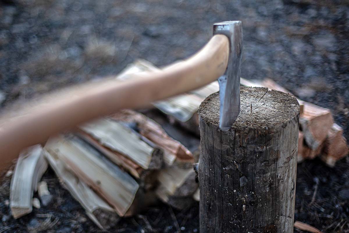
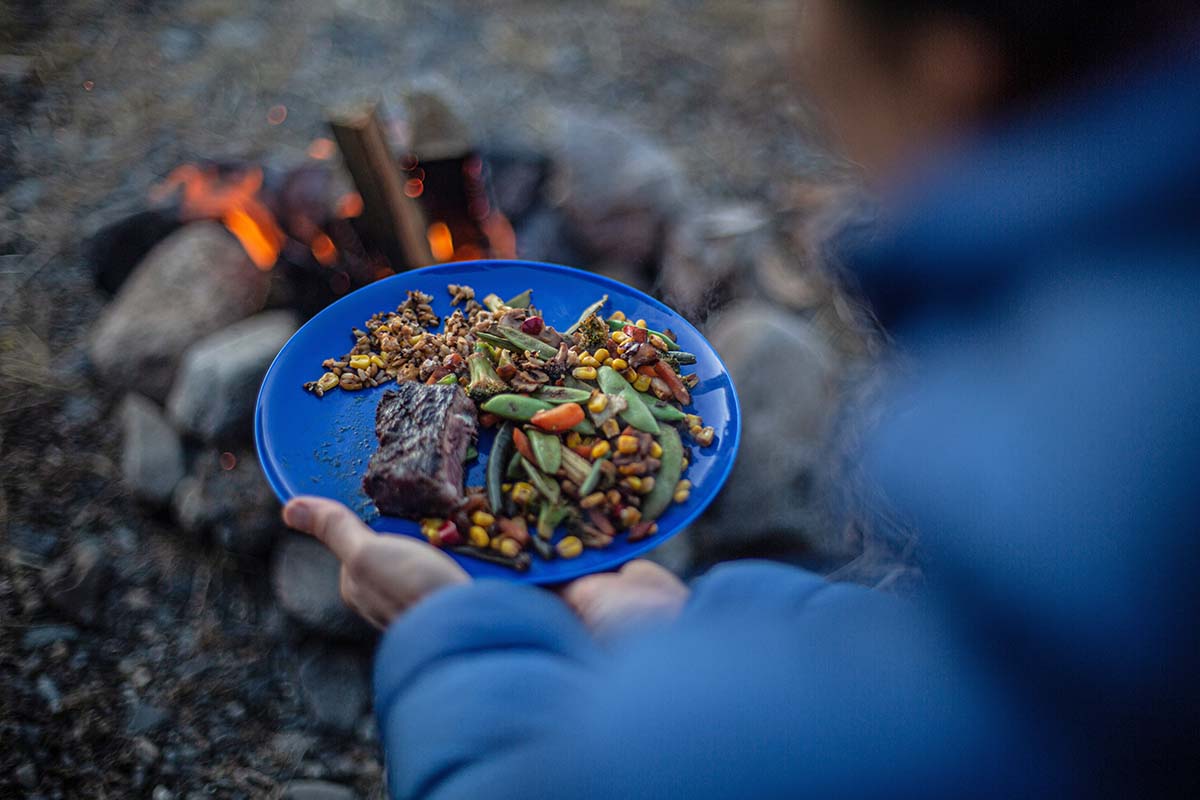
We took our time and spent three days driving to our terminus in Northwest Territory and another five on the way back. Days would pass without seeing other people, and often several hours of driving without seeing a vehicle. We quickly fell into a routine of driving in the morning, spending the afternoon hiking, and finding a place to park for the night. I’d mix cocktails while Brian chopped wood and started a fire. Before we’d left, I had downloaded some movies to a tablet, but the tablet remained dormant; instead, we’d sip our drinks, snuggle with Otis, and delight in the campfire’s embers and the setting sun that remained on the horizon for hours. 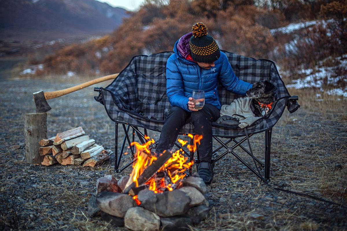
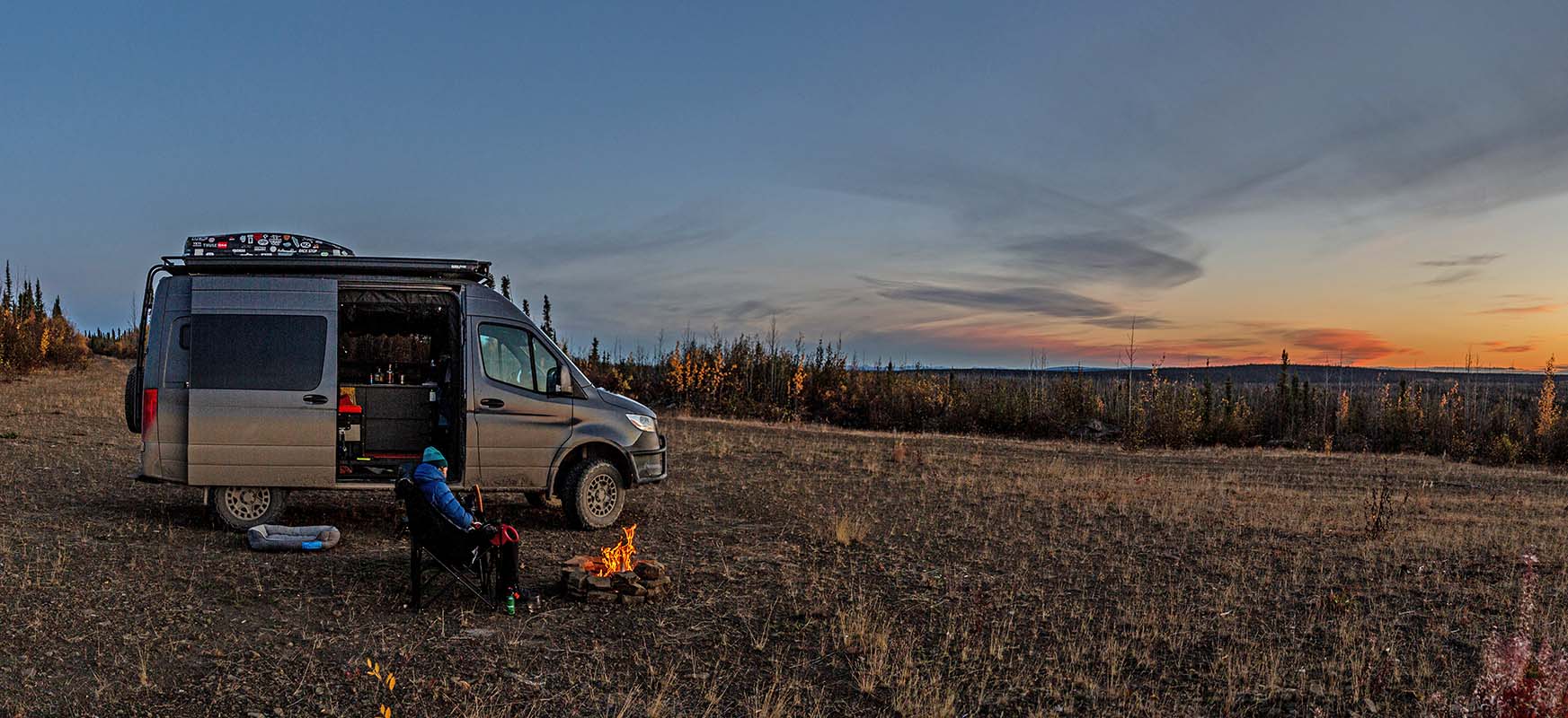
Due to the pandemic, we were able to drive only 515 kilometers, about 50 kilometers into Northwest Territory. Despite not journeying all the way to the Arctic Ocean, the length of the Dempster that we traveled felt complete: it comprised so many landscapes, each unique and other-worldly, with the ribbon of highway serving as the only constant.
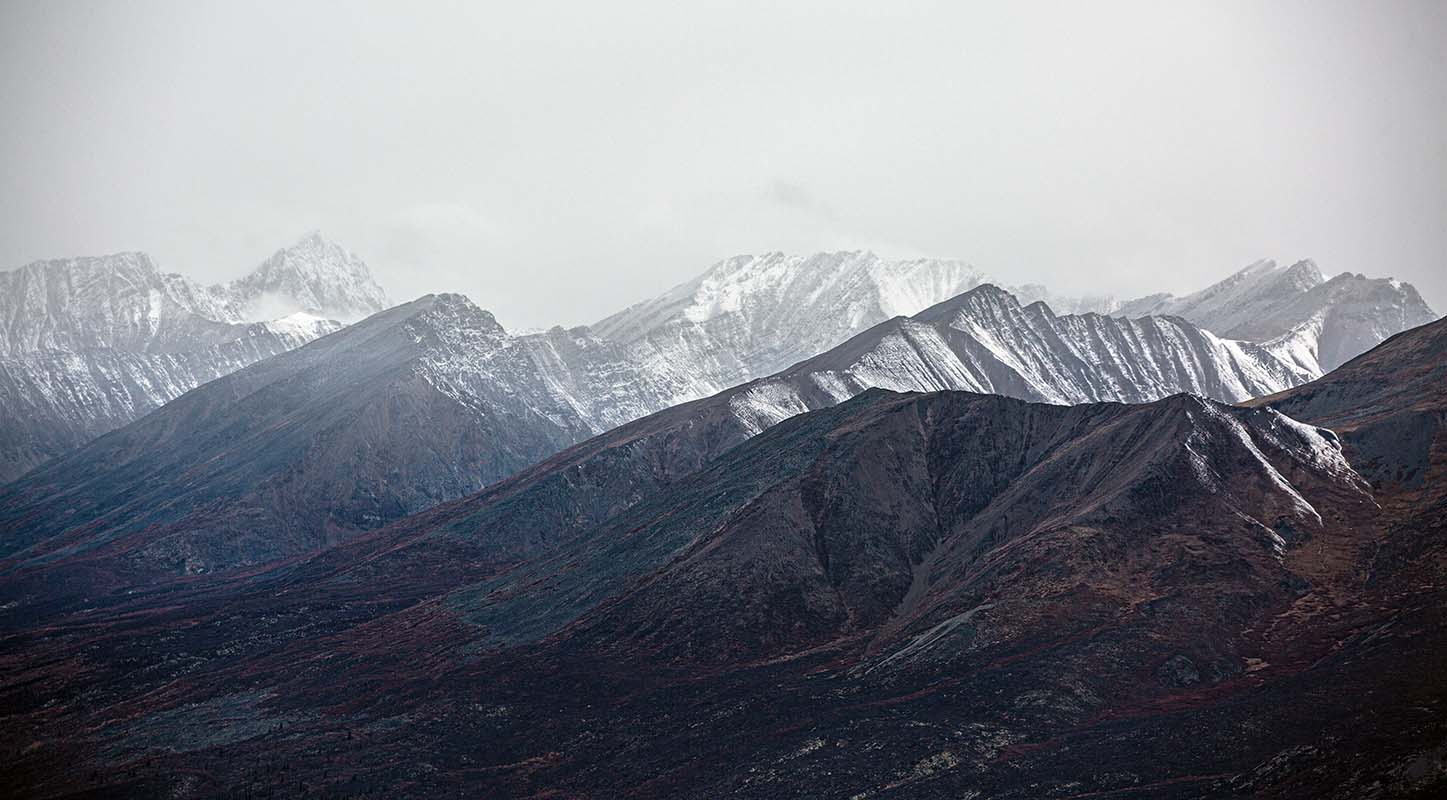
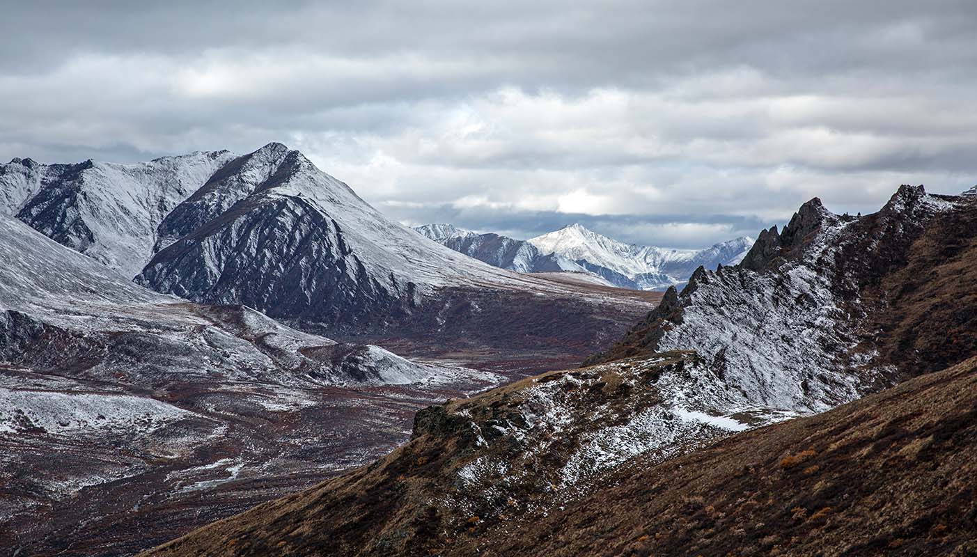
The drive begins along the Klondike River and the traditional territory of the Hän band, translated to English as “people of the River.” The peaks of the Ogilvie Mountains are first to appear, followed by the North Klondike range as the highway enters Tombstone Territorial Park. From North Fork Pass, the view of the Tombstone Mountains (or Ddhäl Ch'èl Cha Nän, meaning "ragged mountain land") is stunning. Though we’d just spent days amongst the spires, this new angle had us awestruck. 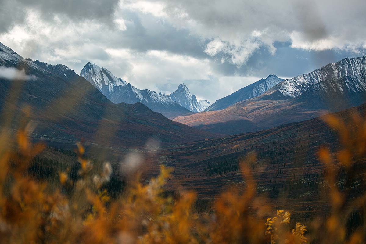
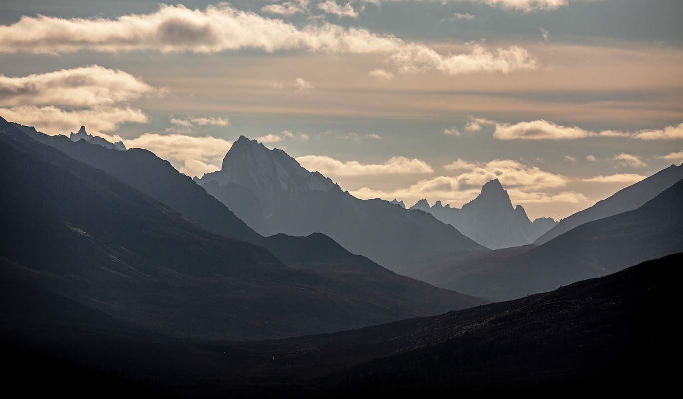
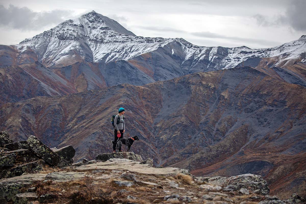
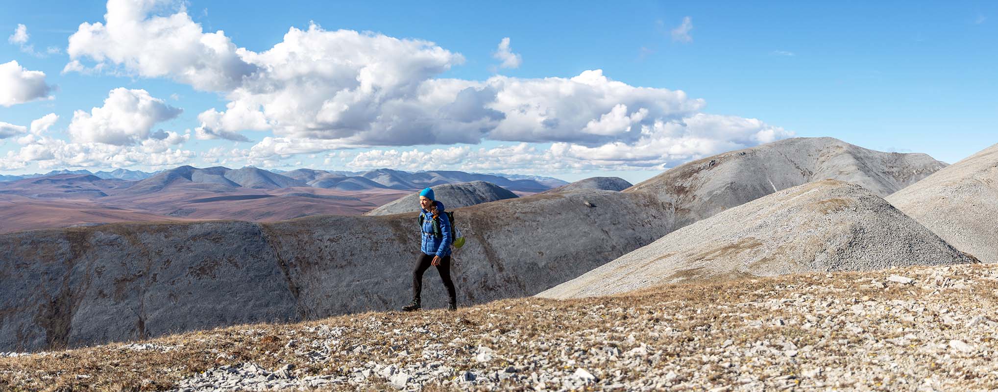
The Blackstone uplands or plateau became one of our favorite areas, and we spent many days exploring the mountain ranges on each side of the valley. Coming from the lush Pacific Northwest, we are familiar with long slogs through heavily treed forest; by contrast, in this world of permafrost and low shrubs, it’s easy to access the base of a mountain and pick out a clear route to the summit from afar. Otis became adept at bunny-hopping over berry bushes, and we tested our legs as we bounded across tussock mounds and sidestepped up the steep mountain slopes. The clouds were dramatic, and the lighting constantly changed. It was in this area, as we ascended Rake Mountain, that we observed a mother moose and her calf nimbly run through scruffy shrubs and disappear into a valley. The speed with which they travelled had us marveling at their surprising grace, as did the ease with which such large ungulates could disappear in scrubby brush. 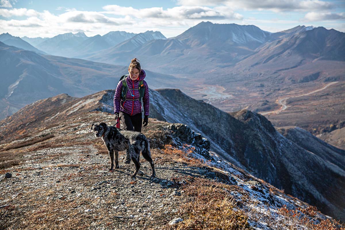
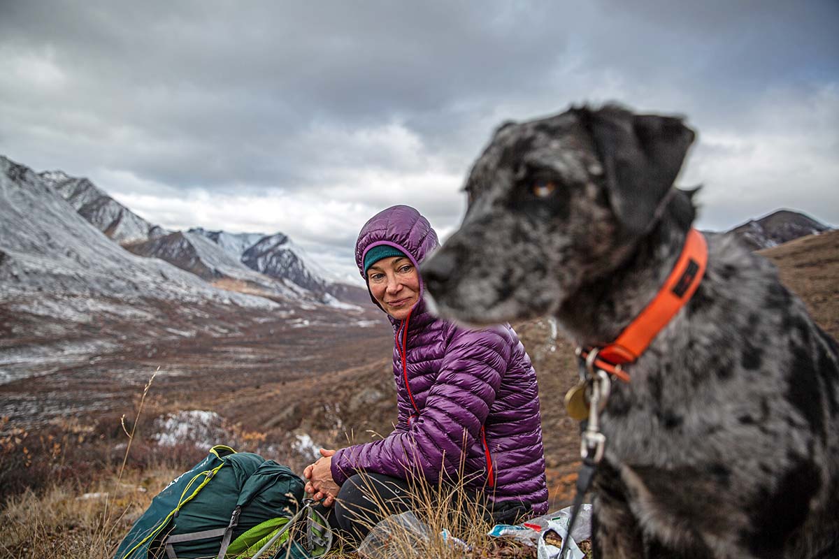
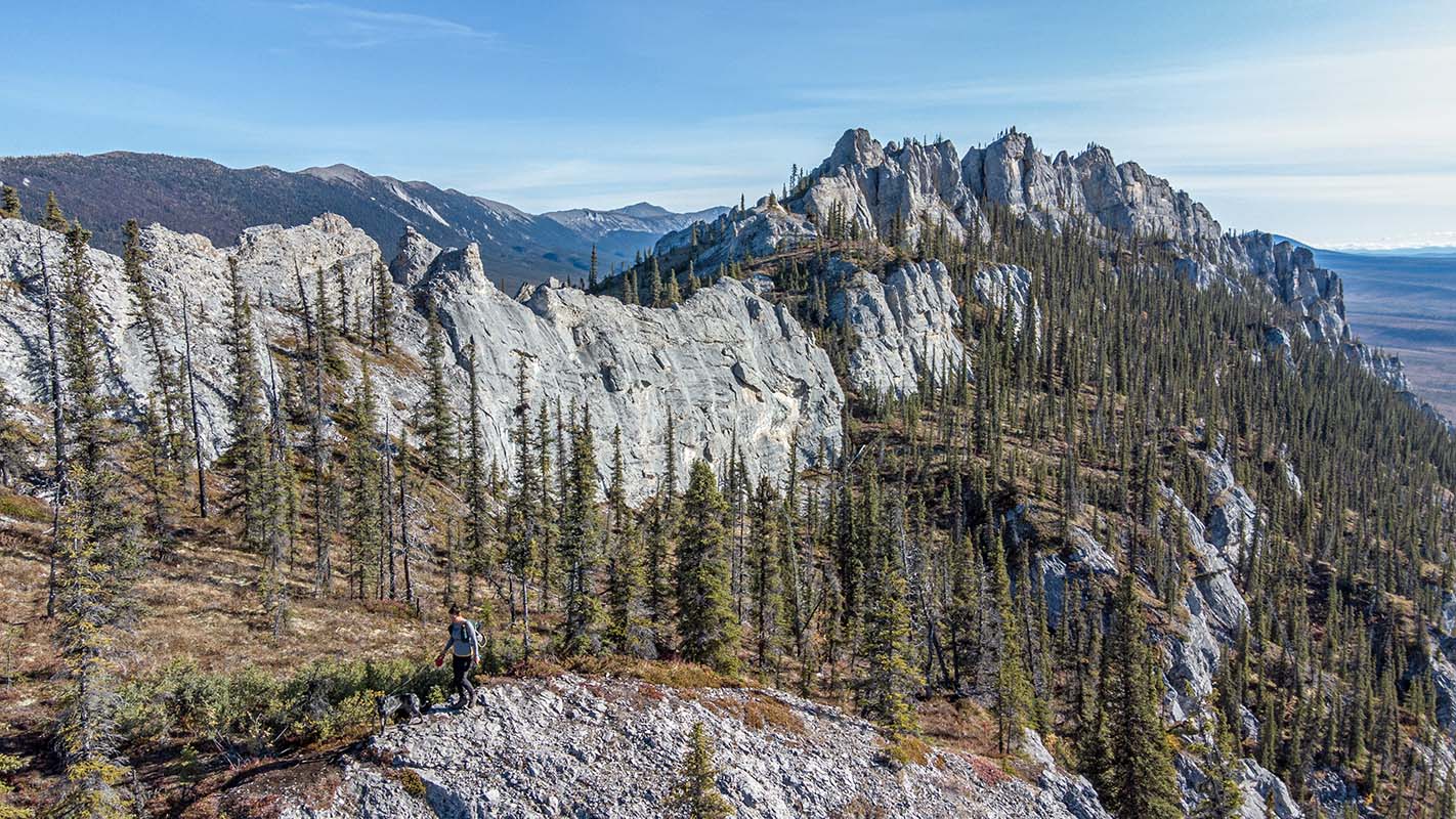
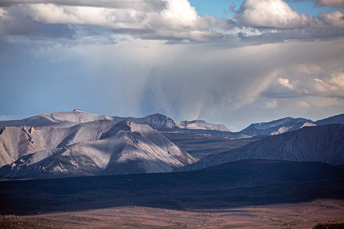
Continuing north along the highway into the Taiga Range, the mountains grew less steep and whiter in color. Our drive along the Dempster, with its ever-changing landscapes, had me wishing I knew more—or quite frankly anything—about geology. I’ve since learned that these mountains are light grey limestone, and that erosion caused by frost-fracturing has disrupted the growth of lichen as well as resulted in the low-angled slopes (if you think of light grey sand dunes made of rocks instead of sand, you get the idea). We hiked up Infant Peak, and the views to the north revealed layers upon layers of ridges that linked together multiple peaks, including the aptly named Distincta Peak. Drastically different, the mountains to the south were jagged and covered in lichen and moss. 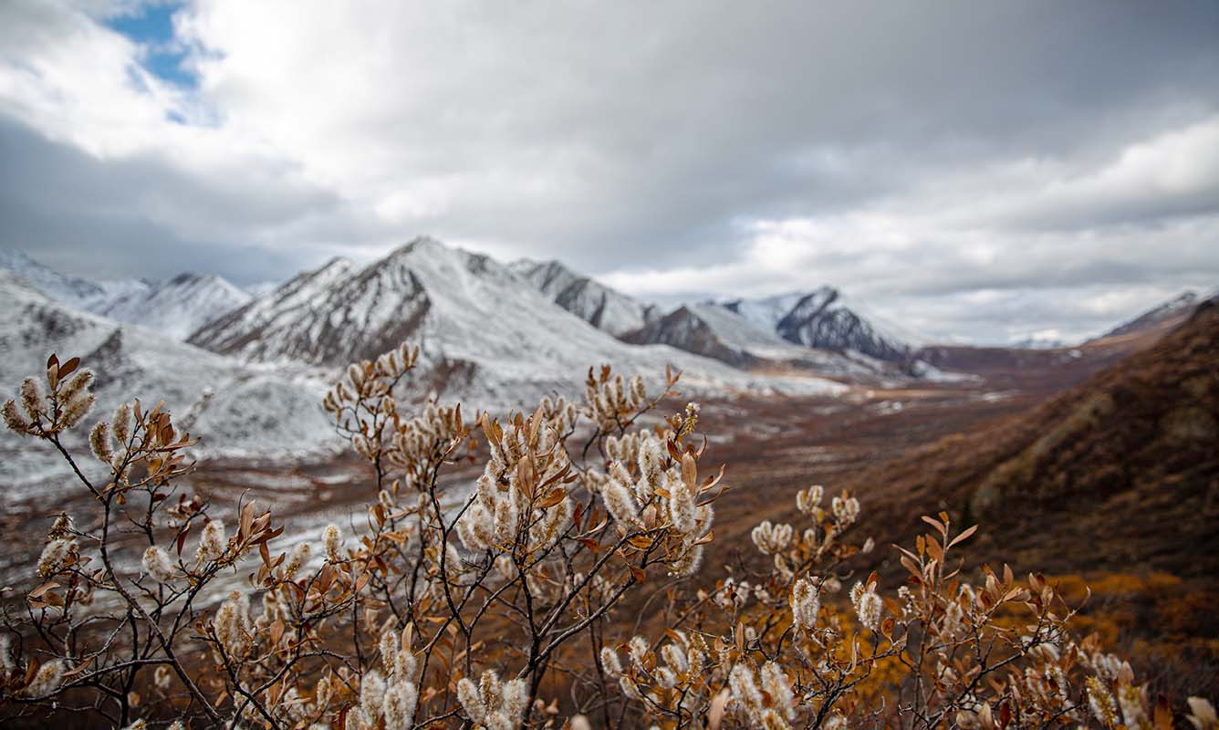
After passing through Windy Pass Summit (now a mere 150 km along the Dempster Highway) the scenery and ecosystem again shifted. “Drunken forests” sound like characters in a fairy tale, and truth be told, the twisted and stunted black spruce trees do look like they have stories to tell. Due to the constantly shifting ground, the root systems are heaved and twisted, resulting in trees that appear unhealthy and warped. We’d been hoping to see a bull moose and riffed that the only way such large animals could hide would be to flop on their backs with their legs in the air. This became a reoccurring joke and had us giggling at the many moose-legs we thought we saw. 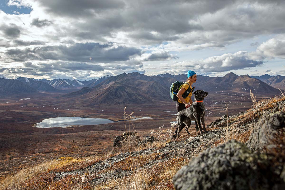
After passing through the Ogilvie River Valley and following the ribbon of highway as it climbed 7 miles up the rolling hills of the Eagle Plains plateau, we came across the much-anticipated settlement of Eagle Plains, the only source of supplies along the Dempster Highway (in non-Covid times, there would also be the ability to resupply in Inuvik). With its self-proclaimed population of fewer than 10, Eagle Plains is no metropolis. We stopped for a meal and Otis was immediately enamored with the restaurant dog, likely concluding he was the only dog left on the planet.
During our lunch, we serendipitously ran into a fellow hiker from Tombstone, temporarily marooned in Eagle Plains due to a flat tire. His cautionary story was entertaining: in short, he stopped to film a passing grizzly bear, and moments later, had a flat tire. Sure he was about to be devoured by the bear, he sung loudly as he replaced his flat, all while a hailstorm descended upon him. Surprisingly, he made it to Eagle Plains on the donut but was well aware he could not drive back to Dawson without a true tire. In many places, this would not pose a problem, but here, it would take at least a week for a replacement to arrive. Our friend was already contemplating falling in love with the dog and waitress and settling in Eagle Plains. Who knows, he might still be there!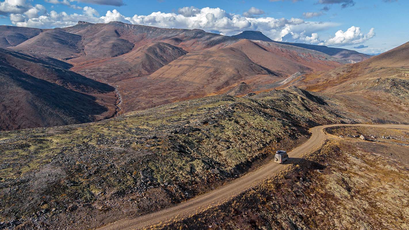
After leaving Eagle Plains, we continued north and crossed the Arctic Circle. The land started to become vaster and more open, and peaks shrunk in stature as we left the dark shale of the Richardson Mountains and found ourselves at Northwest Territory's border. We were now in true Arctic tundra. About 50 kilometers into the territory, we stopped just before a Covid checkpoint and turned around, happy to re-witness all that we’d seen—but this time in the opposite direction.
We spent a week on the Dempster and would have stayed longer were it not for the rapidly changing season. Fall was quickly giving way to winter, the mountains were becoming dusted with snow, daylight hours were shortening, and the temperatures were dropping rapidly. We made the tough decision to carry on in search of warmer climes. Our timing was impeccable, as 25 centimeters (around 10 in.) of snow fell the day after we left. 