
David Wilkinson


David Wilkinson
The Manaslu Circuit is at an interesting point of development: the encroachment of roads up the neighboring Annapurna Circuit has increased the demand for other treks (Nepal used to be mainly a two trek destination: the Annapurna Circuit and Everest Base Camp). People are hearing about the beauty and remoteness of Manaslu and the numbers are increasing. With the recent completion of the “lodge” at high camp at Dharamsala, it is now possible to complete the trek by way of teahouses (although it would be unwise to go without camping equipment as the teahouses are basic and in short supply).
In another sense, the Manaslu Circuit likely will never become the Annapurna Circuit. Forty years of closure were critical from a preservation standpoint, but perhaps more importantly, the geography will not allow the same degree of development. The Budhi Gandaki River on the eastern flanks of the Manaslu trek forms one of the steepest and most unforgiving gorges in the world, and it would be infinitely more difficult to develop infrastructure here than in the Kali Gandaki or Marsyangdi Valleys on the Annapurna Circuit. In addition, the roads on the Annapurna Circuit were built due to heavy demand from those in agriculture, while the Manaslu region has only a fraction of the inhabitants, most of them surviving on subsistence.
Length: 13–17 days.
Difficulty: Challenging.
Starting Elevation: 941 meters (3,087 feet) at Arughat.
Peak Elevation: 5,213 meters (17,103 feet) at Larkya La.
Guiding: Required.
Accommodations: Camping and teahouses. There are teahouses along the entirety of the Manaslu Circuit but they are relatively primitive and limited in number.
When to Go: Fall peak season is from October to early December; spring trekking season is in March and April.
Access: The starting point Arughat is 6–12 hours driving from Kathmandu depending on your method of ground transportation.
Paperwork: A registered guide and party of two or more are required. Trekkers will need a Restricted Area Permit, TIMS card, and permits for the Manaslu Conservation Area Park (MCAP) and the Annapurna Conservation Area Park (ACAP). All permits can be purchased from the Nepal Tourism Board in Kathmandu or through a registered guide for about $200 total; approximately eight passport photos are required.
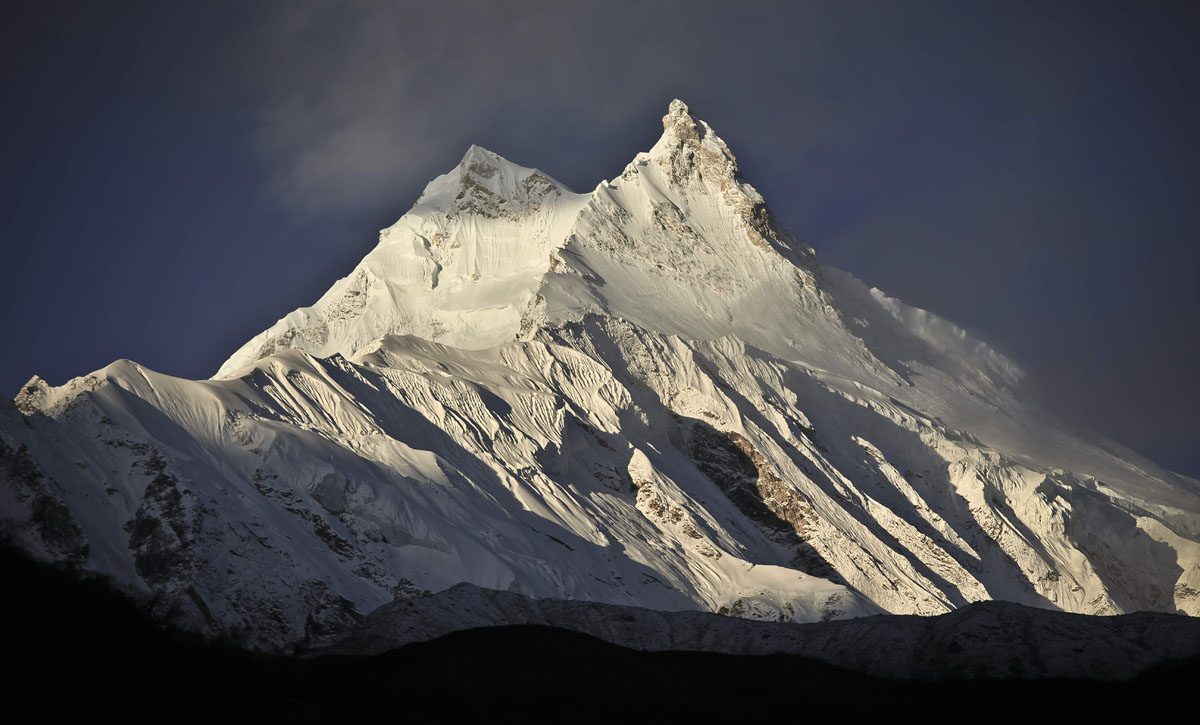
The Manaslu Circuit is the trekking jewel of Nepal. Bordering the Annapurna Conservation Area to the west and the Tibetan Plateau to the north and east, the region was closed to foreign tourists until 1991, effectively blocking the development that occurred after the country was opened to the outside world in 1951. Since 1991, Manaslu has been opened on a restricted basis for organized groups, offering a glimpse into pristine natural and cultural conditions that have been compromised in other parts of Nepal.

The trekking begins after a full-day drive from Kathmandu to Arughat—there is a direct bus from Kathmandu but a hired jeep will cut down the trip time significantly. The walking commences the following morning and the first few days on the trail may well be the most difficult: the Budhi Gandaki Gorge is harrowingly steep, the young trail is not in is as good of condition as the well-known treks, and the distances are long. Soon, however, the elevation dictates shorter days and the valley widens on the westward arc toward Larkya La Pass.
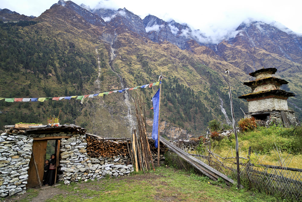
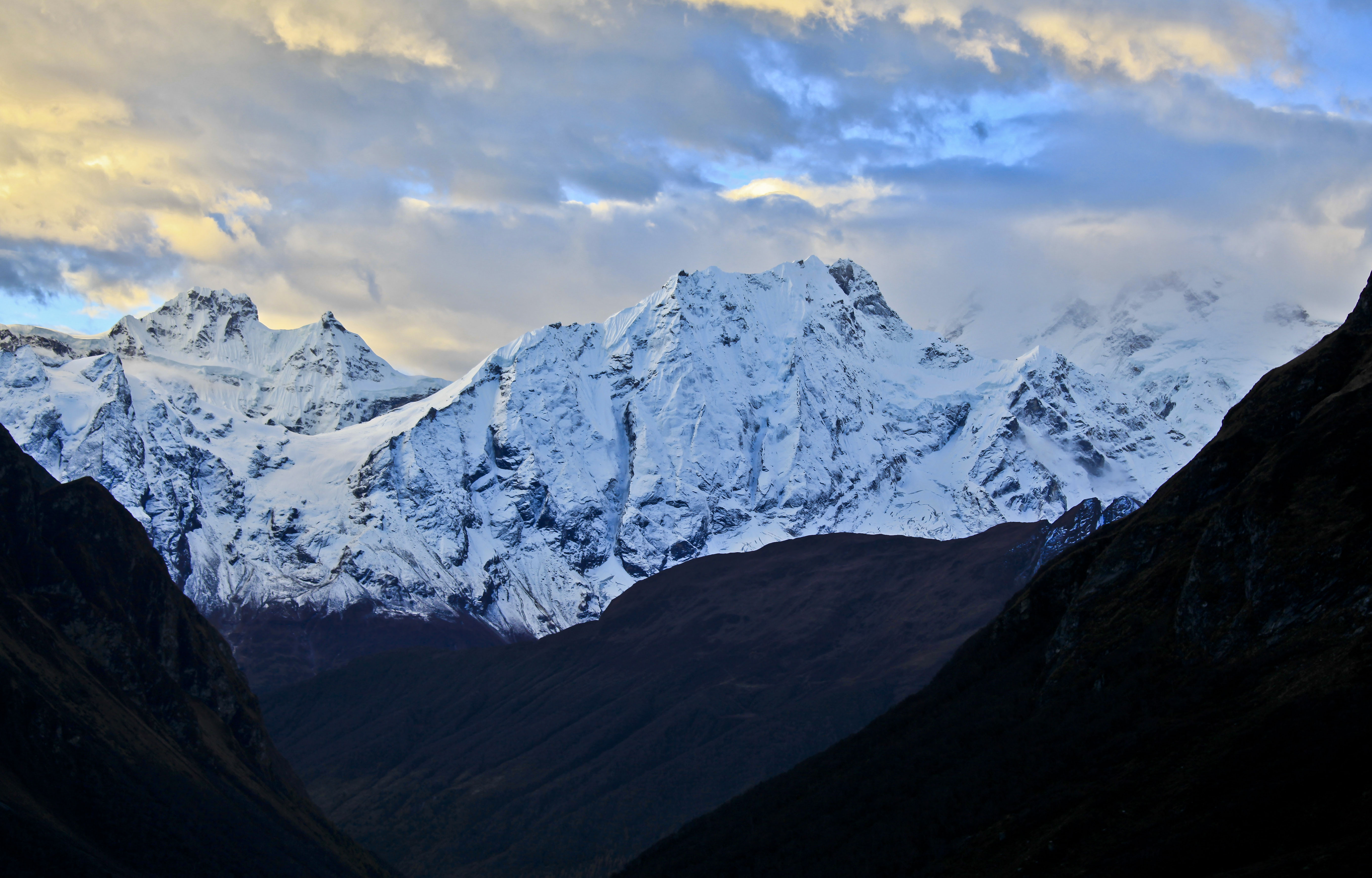
The trail enters the Manaslu Conservation Area just before Jagat, which also marks a cultural shift from Nepalese Hinduism to Tibetan Buddhism. For decades, Tibetan refugees have fled to this remote and undisturbed region of Nepal, and the villages here represent generations of these people. The stone-roofed Buddhist villages such as Namrung, Lho, Samaguan, and Sambdo set against the towering giants of Manaslu and the Himalchuli Massif are truly magnificent.
Crossing Larka La (5,213 m) is a difficult day, but it’s more a test of will power than anything else. The pass itself requires walking on snow but standard hiking boots should be sufficient. Most people complete a long day and finish in Bimtang before heading down to the convergence with the Annapurna Circuit at Dharapani. Hitting the hustle and bustle of the Annapurna Circuit is unwelcomed after the tranquility of Manaslu, but this also means that civilization is near.

A highly recommended side trip from the Manaslu Circuit is the Tsum Valley, located east of Philim near the Tibetan border. This valley is as isolated and untouched as any in Nepal, first opened to foreign trekkers in 2008, home to a small indigenous group known as “Tsumbas,” and surrounded by mountains that include Himalchuli to the west and the Ganesh Himal to the south. More information on the Tsum Valley is available through the Tsum Valley Homestay and the Tsum Valley Welfare Committee.
On the whole, the Manaslu Circuit provides a great opportunity for Nepal to get it right—they have a clean slate and seem intent on managing the area more closely than other treks in earlier years. Teahouses will be built, which will provide a much-needed and well-deserved boost to the impoverished local villagers. The Manaslu Circuit and the Tsum Valley will begin to make the lists of the world’s best hikes (insiders have been saying this for years), but it's better to experience it now than later. "World Class" doesn't begin to describe this place.
First, we have not completed the Manaslu Circuit Trek after the devastating 2015 earthquake, but we have spent time gathering information. From our research, there was significant damage along the route including trail damage and structural damage to teahouses in the forms of cracks and building collapses. The Tsum Valley appears to have been hit especially hard—it was very close to the earthquake’s epicenter.
However, it appears that locals have spent a lot of energy fixing the route and have made good progress. The annual Manaslu Trail Race was run successfully in November of 2015 roughly six months after the quake. A handful of blog posts and trip reports from fall of 2015 indicate that the route is indeed passable. Our advice would be to contact a reputable guiding company that currently is offering the trip and ask for details on the route after the earthquake.
It’s also a good idea to take reasonable precautions when trekking on a route this remote and difficult after a major natural disaster. When we first completed the Manaslu Circuit in 2010, it was not yet a teahouse trek and we still had to bring a tent and camp near the pass. Within a couple of years and the construction of the high camp at Dharamsala, the teahouse route had been completed and it was now possible to trek Manaslu without a tent and accompanying gear.
Given the reported damage to a significant number of teahouses in the earthquake, it’s a good idea to assume that you may be camping in at least some of the small villages along the way (these villages weren’t nearly as built up as more popular routes like the Annapurna Circuit in the first place). It’s also a good idea to bring extra supplies as precautions in case some villages are short or you have to turn around. Again, reliable information on the ground in Nepal may sway you in the other direction, but with limited information it’s better to be safe than sorry.