
Rina Thompson Photography


Rina Thompson Photography
Many visitors to Fox Glacier pay for an expensive guided walk on the ice, but there also are a number of free hiking trails that lead to excellent viewpoints. All of the trails listed below are within close proximity to the Fox Glacier Township; the first three are relatively easy whereas the fourth (Mount Fox) is one of the toughest and best day hikes in New Zealand. We’ve also created a handy map at the bottom of the page that gives a general overview of the hikes. Detailed Fox Glacier area maps are available from the Department of Conservation.
Starting at the end of Glacier Access Road on the north side of the Fox River, this short walk gets you up close and personal with Fox Glacier’s terminal face. Surrounding the trail is a world of glaciation: glacial moraines fill the sides of the valley and the Fox River flows from under the great wall of ice. Abide by safety barriers and do not follow guided trips onto the glacier.
Starting from the end of Glacier View Road on the south side of the Fox River, the walk to the Chalet Lookout passes through old growth forest to an elevated platform with terrific views of Fox Glacier’s lower icefall. For those interested in doing the Fox Glacier Valley Walk and Chalet Lookout Track together, the River Walk footpath connects the two roads.
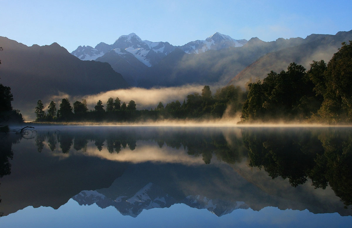
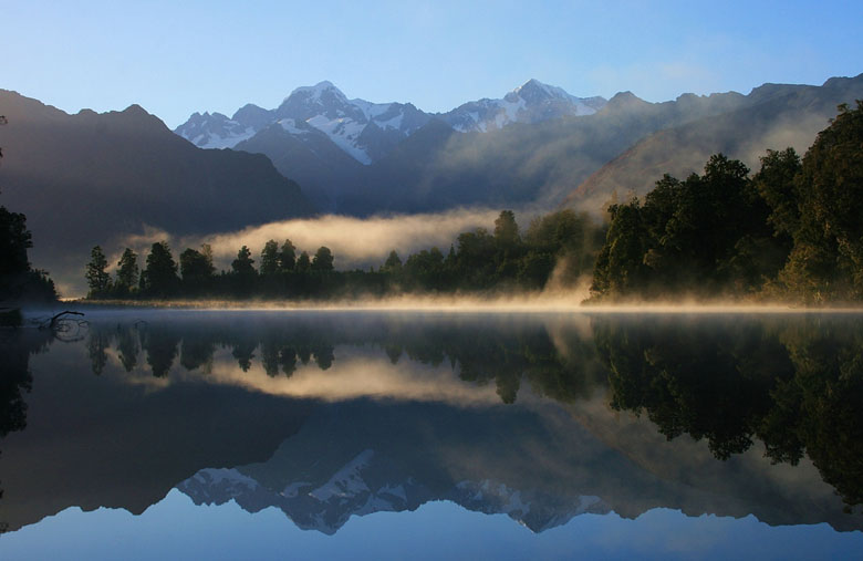
The famous images of Fox Glacier and the surrounding peaks reflected over a pristine body of water are from Lake Matheson. The Lake is approximately 5 kilometers from Fox Glacier Township and the highly popular Matheson Café is conveniently nearby.
The hike up Mount Fox is one tough cookie: at points you literally will be gripping the trail in front of you. On a clear day, the panorama from the summit of Mount Fox is one of the most dramatic in New Zealand, including Fox Glacier, Mt. Cook, and Mt. Tasman. By completing this hike you will have earned what those on scenic flights pay big bucks to see. The trail up Mount Fox starts 3 kilometers south of town at Thirsty Culvert. Get up as early as possible; the trail is steep and difficult and afternoon fog rolls in quickly. Check with the Department of Conservation for current trail conditions (experienced hikers only; 7–8 hours return).