

The West Coast of New Zealand’s South Island has a way of sneaking up on travelers and becoming one of their favorite destinations in the country. Just up the road from Queenstown, Fiordland, and Milford Sound, this country can make your head spin with how quickly the terrain changes and what lies nearby.
North from Queenstown, the road splits and the scenic Highway 6 heads toward the West Coast (Highway 1 is the other north–south artery and runs parallel to the east coast). Highway 6 from Wanaka to Franz Josef is among New Zealand’s best drives, even though it isn’t jaw dropping in the same sense as the Milford Road, for example. Mostly it’s wild forests, mountains, and rivers that, although smaller in scope, evoke Alaska and the Canadian Rockies.
Makarora, the northern tip of Lake Wanaka, the road enters Mount Aspiring National Park (the country’s third biggest) and the Te Wahipounamu–South West New Zealand World Heritage Area. This expanse of mostly undisturbed terrain officially has been protected for over 50 years, offering beautiful driving and everything from easy walks to serious backcountry trips.
There are many sights along the road to Haast Pass, and approximately 8–9 km north of Makaroa are the Blue Pools, a must-see. In a testament to the natural purity of the area, the glacier-fed waters of the Makarora River are legendary for their azure color and clarity. Even in the deep pools it’s easy to see the bottom, and sizable rainbow and brown trout can be seen lurking through the currents.
The trail to the Blue Pools is just north of Muddy Creek, ironically, and is an easy 1½ km round trip through silver beech forest to the river. A number of other short walks are easily accessible from Highway 6, including Fantail Falls and Thunder Creek Falls, as well as three DOC campgrounds. Adventure seekers should consider the Gillespie Pass Circuit (3–4 days; 58km), which traverses upward from the Makarora River into the Southern Alps for spectacular vistas of Mount Aspiring National Park.
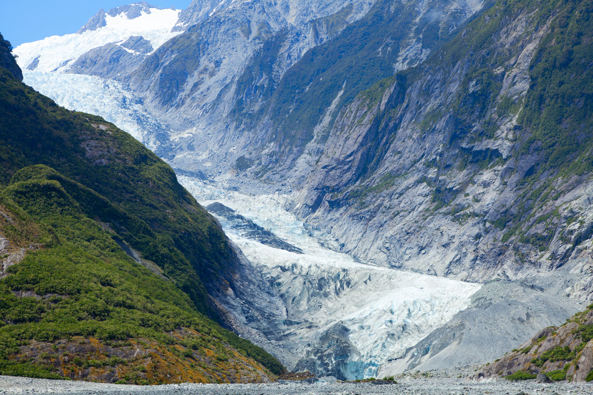
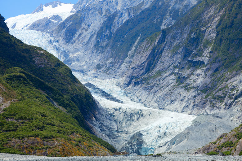
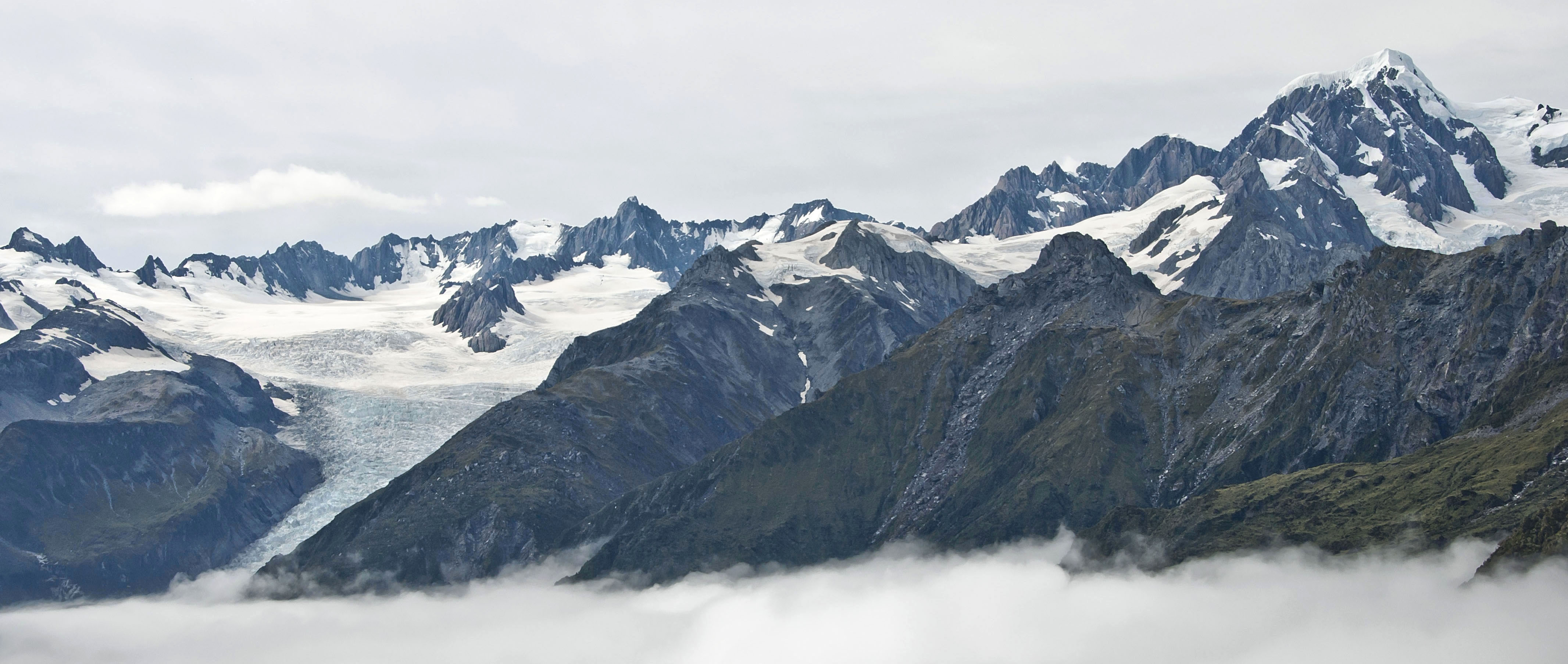
After Haast Pass (563m), the road continues through the sleepy township of Haast to the South Island's rugged western coastline. The West Coast is known for its wildness, and perhaps most striking is the close proximity of sandy beaches to New Zealand's highest peaks—from various points it’s possible to see from the ocean up to Mt. Cook (3,754 meters; 12,316 feet). With the mammoth Fox and Franz Josef Glaciers included, it's an astounding setting.
The stretch from Franz Josef to Fox Glacier affectionately has been nicknamed “Glacier Country,” made official by corresponding signage along the highway. Given that New Zealand has over 3,000 glaciers, the majority of which are located in the Southern Alps, you may wonder why Franz Josef and Fox Glaciers get all the attention:

Both glaciers have small townships in their names that serve as the base of operations for glacier activities. A number of glacier activities are available including scenic flights, guided glacier walks, heli-hiking, and do-it-yourself walks ranging from easy to highly challenging.
Highway 6 continues up the West Coast from Glacier Country, and although the driving is nice, thick vegetation and rough terrain limits access to the backcountry. The next major destination is the unique limestone cliffs of Paparoa National Park past Greymouth, and most visitors stick to the Punakaiki (or Pancake) Rocks on the coast. The adventurous and off the beaten path Inland Pack Track passes deep into the limestone valleys of Paparoa, including the option of sleeping under the legendary Ballroom Overhang. Numerous stream crossings are required and it’s best to stop by the DOC office in Punakaiki to inquire about the day-hiking and overnight options.